M.E. and I recent returned from Jordan where we sent 6 days touring around the country. Jordan is relatively small, within 3 to 4 hours one can drive the entire length of the country. We were very impressed. Jordan is squeezed between and sometimes acts as a buffer to several of the major powers in the region. It shares a large border with Saudi Arabia, Syria and Israel, and slightly smaller borders with Iraq and The West Bank (Palestine) and in the south it is several km away from Egypt across the Gulf of Aqaba. Putting it on the map
Jordan became an official kingdom in 1948. Without getting into a lot of history on the different wars, the region finally settled down in 1994 when Jordan’s King Hussein signed a peace treaty with Israel. After the death of King Hussein in 1999, his son Abdullah became king. Since that time Jordan’s economy has improved greatly, he has been able to develop strong relationships with all of his neighbors and has acted as a broker to maintain the peace with all of the boarding counties. Jordan is consider a safe haven in a region of conflict.
Jordan also has close relationships with the US, UK and the European Union and through out the years King Abdullah has worked to build trust with the west and the Persian Gulf countries.
Besides being a key ally with the US and UK, Jordon together with Egypt is one of only two Arab nations to have signed peace treaties with Israel and recognizes Israel as a country.
Jordan’s economy is relatively well diversified despite the insufficient supplies of water, oil and other natural resources. The King has established domestic priorities for his people, including an aggressive economic reform program. Jordan has many trade agreements and has developed many partners around the world. There is no hostility between Muslims and Christians, Jordan is one of the most modern and liberal nations in the region. What was interesting is everywhere we went we found a friendly Jordanian who welcomed us to their country. It happened all the time.
Tourism makes up 10-12% of the country’s GDP. But tourism has slowed down since the Arab Spring. Many think the region is too risky and volatile to visit. But Jordan is safe. Jordan is a very hospitable country to tourist and foreigners. Jordanian are very helpful if asked and will respect you and your culture as long as you respect theirs.
What I found interesting is the large medical tourism industry. Jordan has become the center for medical treatment for many countries in the Middle East. Jordan’s well educated doctors and world-class hospitals are well respected around the world. And now Libyan and Syrian patients and refugees are coming in for general treatments to the Jordanian hospitals.
Because of the lack of natural rescores Jordan is just holding its own, it relies heavily on international aid. I give it a lot of credit, it has had the ability to absorb large amounts of immigrants and refugees. Over the past several decades over 1.9 million Palestinians refugees have migrated here, some 340,000 still living in refugee camps. There is up to 700,000,Iraqis who moved since the Iraq War and 15,000 Lebanese since their civil war. Most recently 500,000 Syrian refugees have arriving since 2012. Jordan population in 2000 was 4.8 million people, today it is 7.6 million most of the increase due to the influx of refugees.
Jordan is part of the region considered to be “the cradle of civilization” it is also part of the Fertile Crescent. Its history goes back to the earliest human civilizations which flourished in this area. Our tour took us around the country to visit some of these ancient sites and allowed us to explore the dramatic scenery that Jordan has to offer.
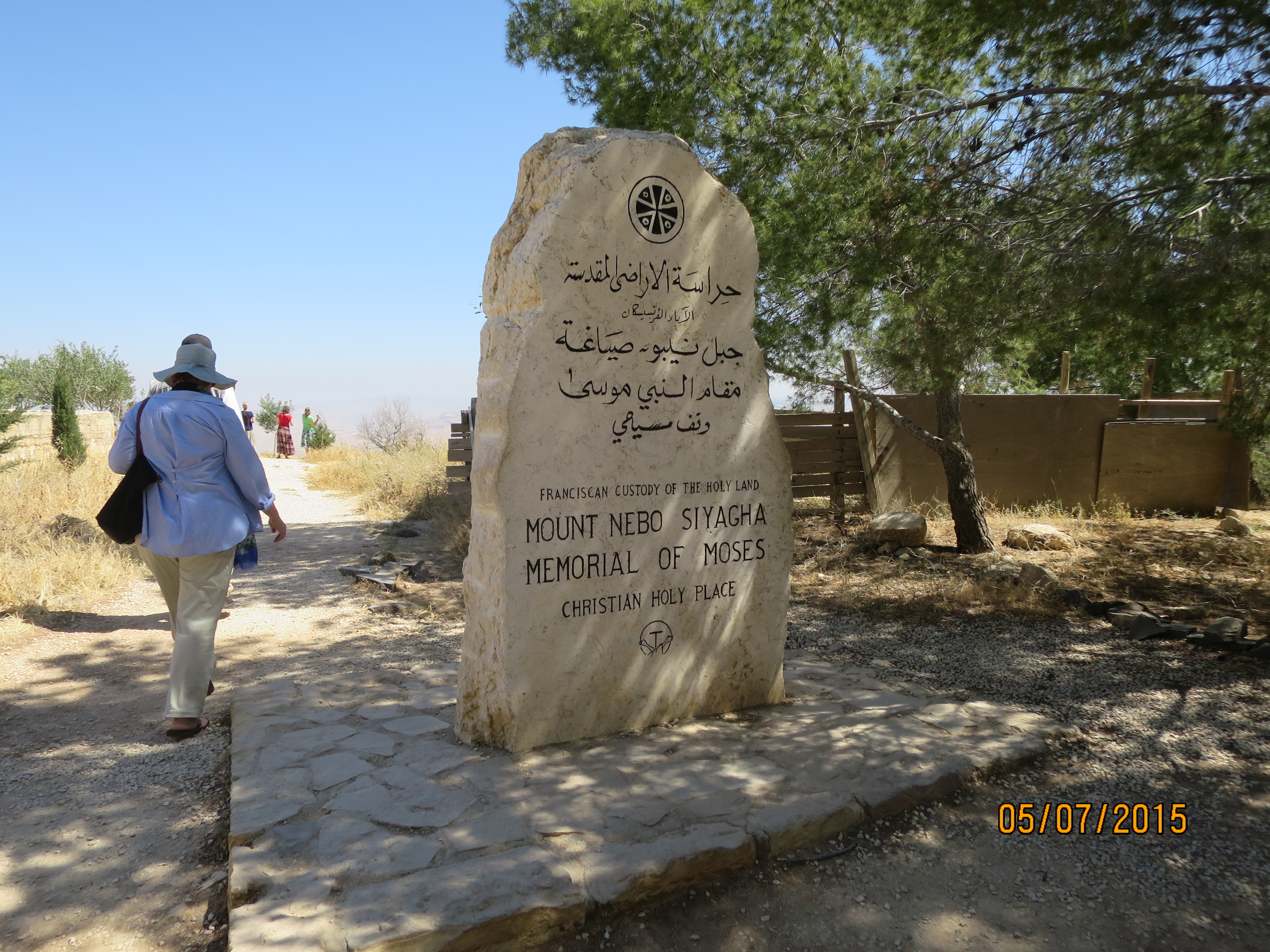
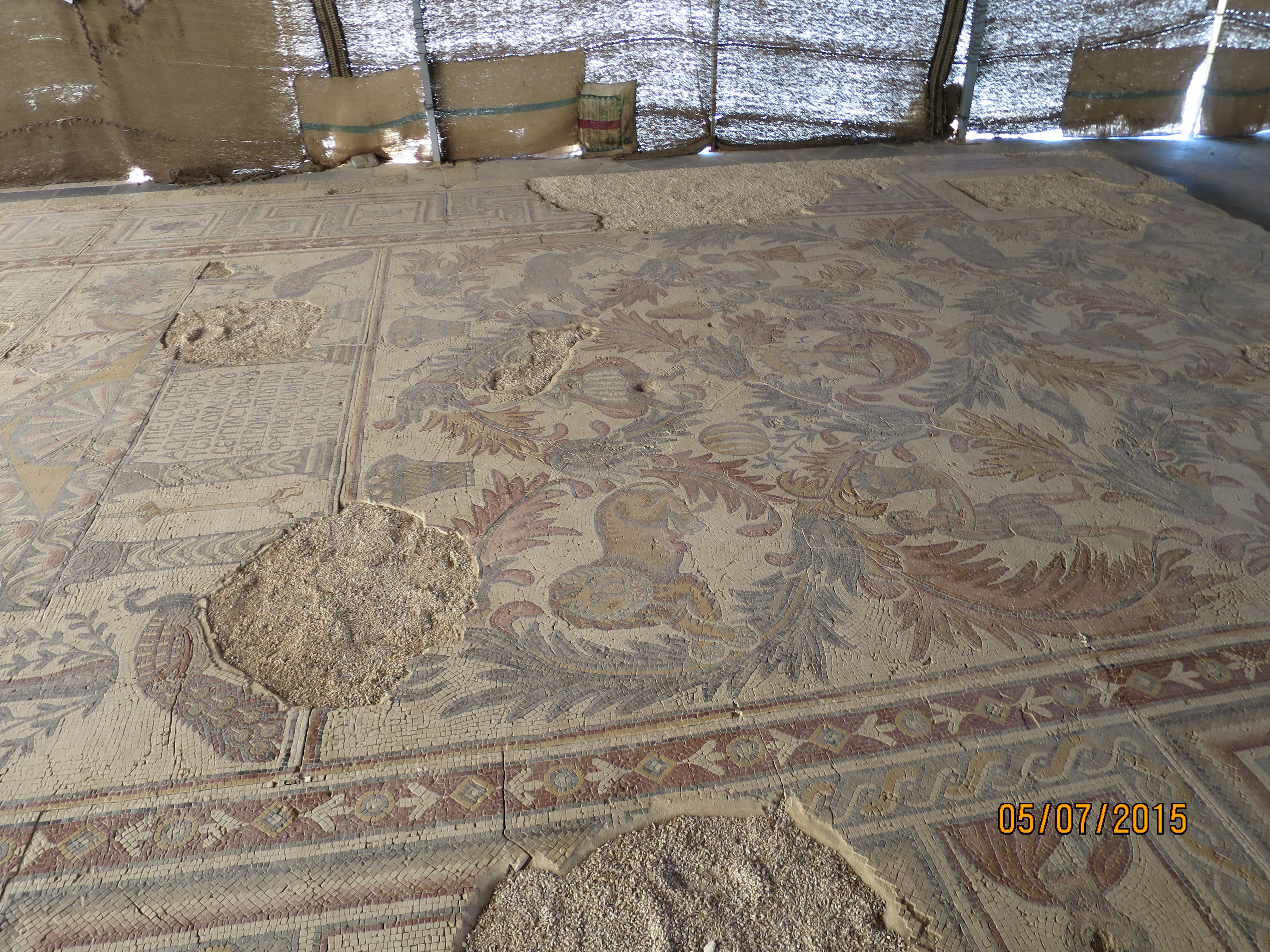
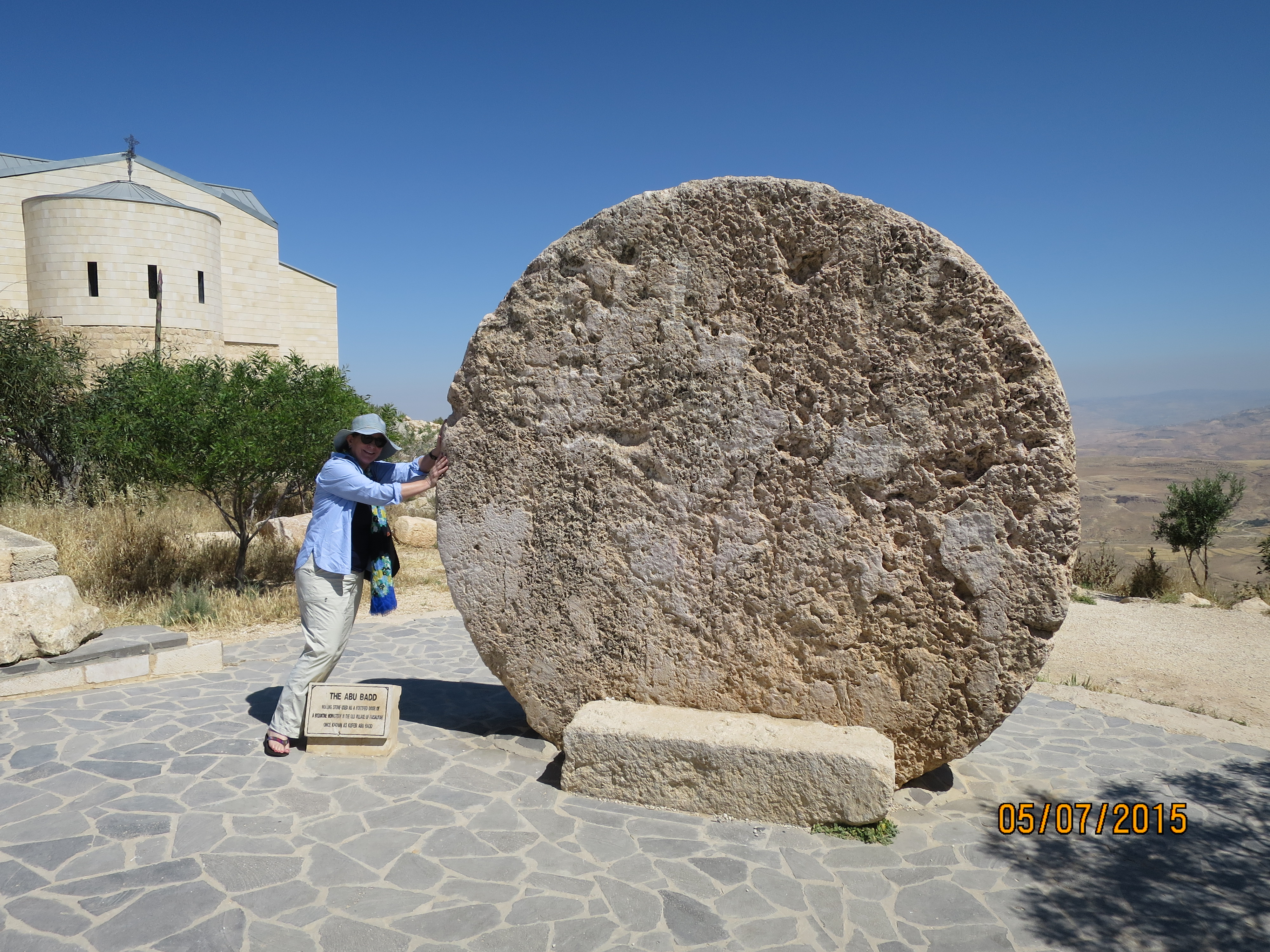
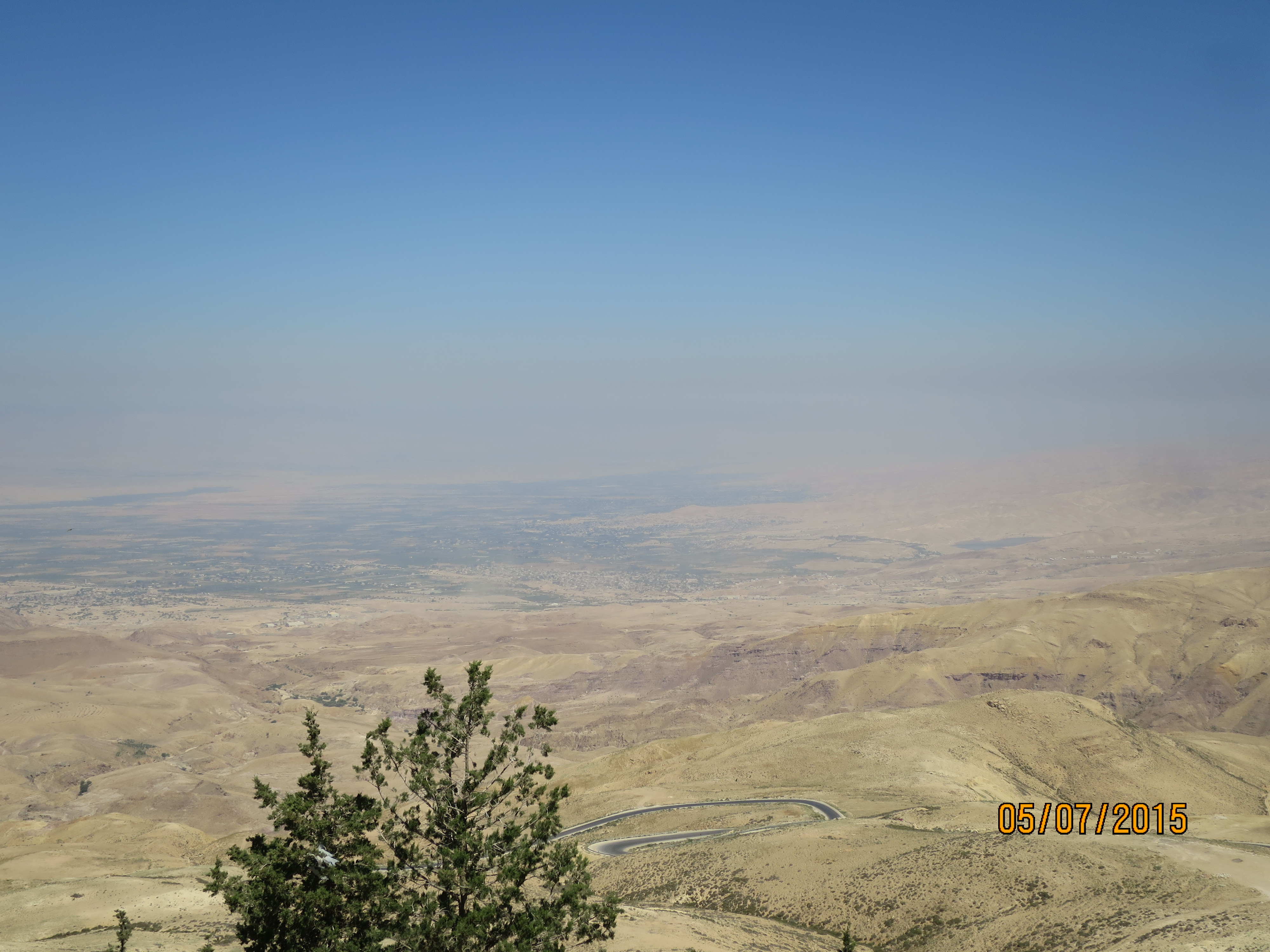
We started out visit at Mount Nebo. Mentioned in the Bible as the place where Moses saw the Promised Land and the Jordan River valley before he died. Today it is home to a Franciscan monastery where the remains of a 4th century church with magnificent Byzantine mosaics have been uncovered and is currently being renovated. From the top of the 3300ft high mountain you can see the West Bank and the city of Jericho.
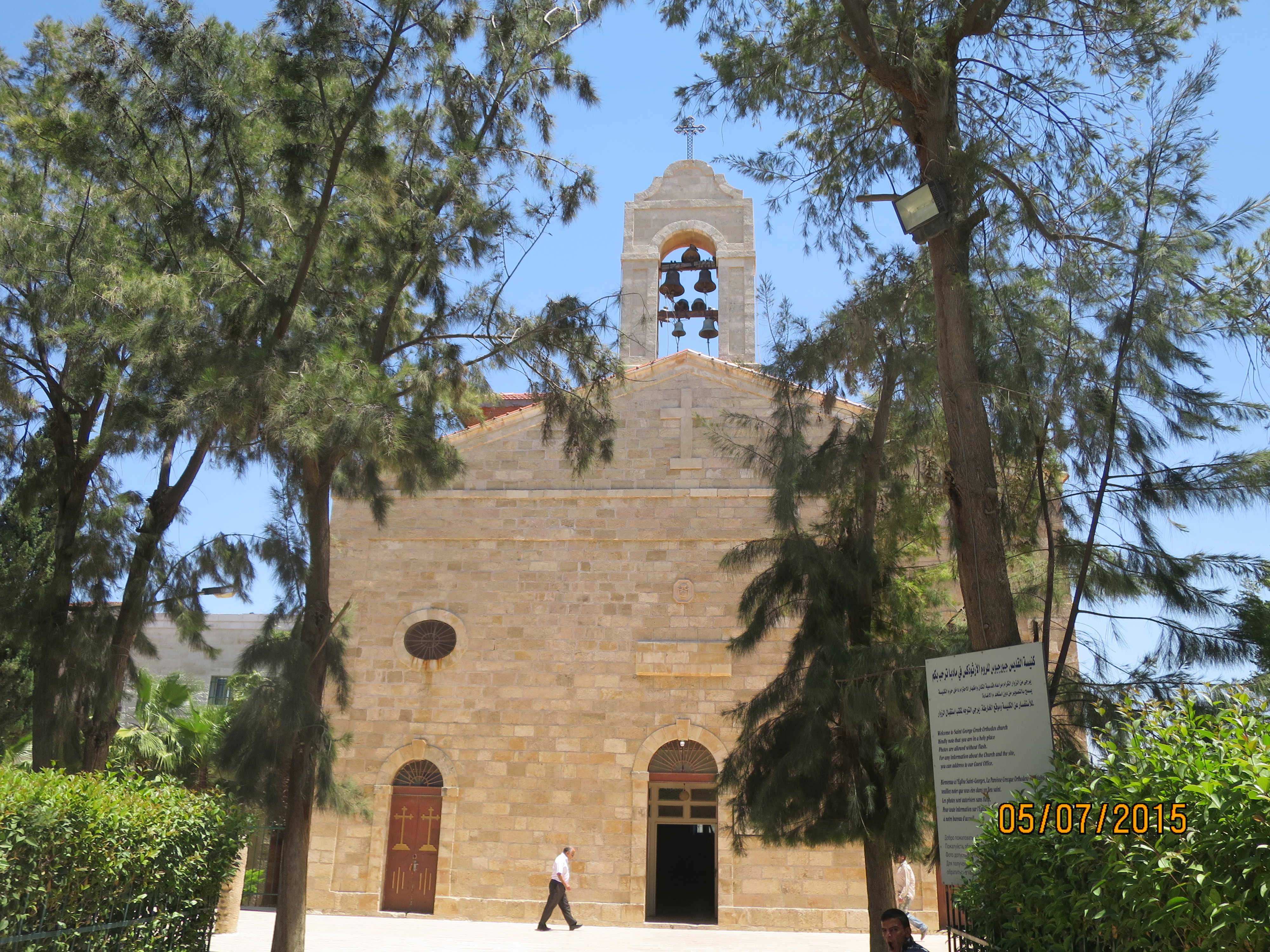
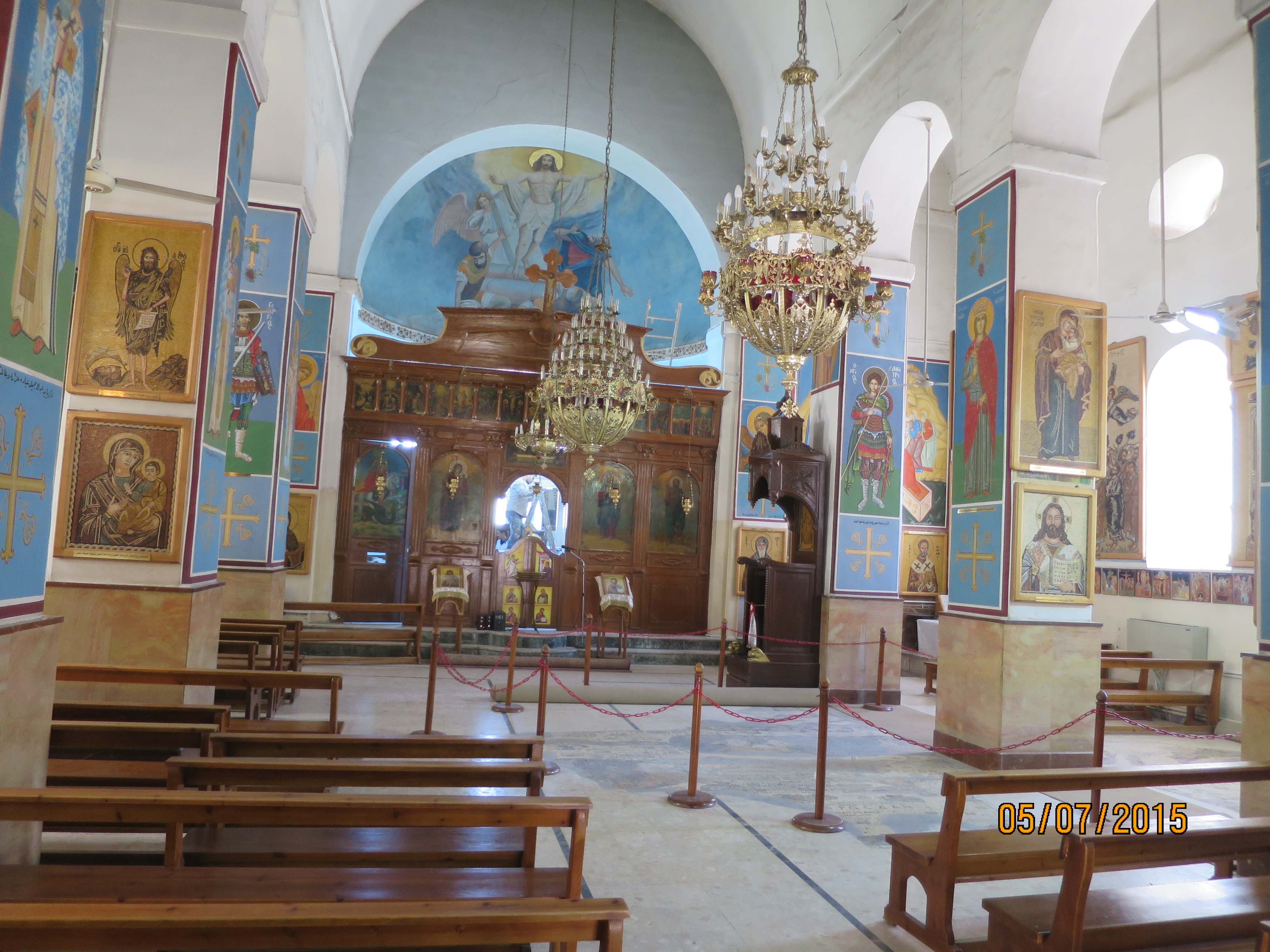
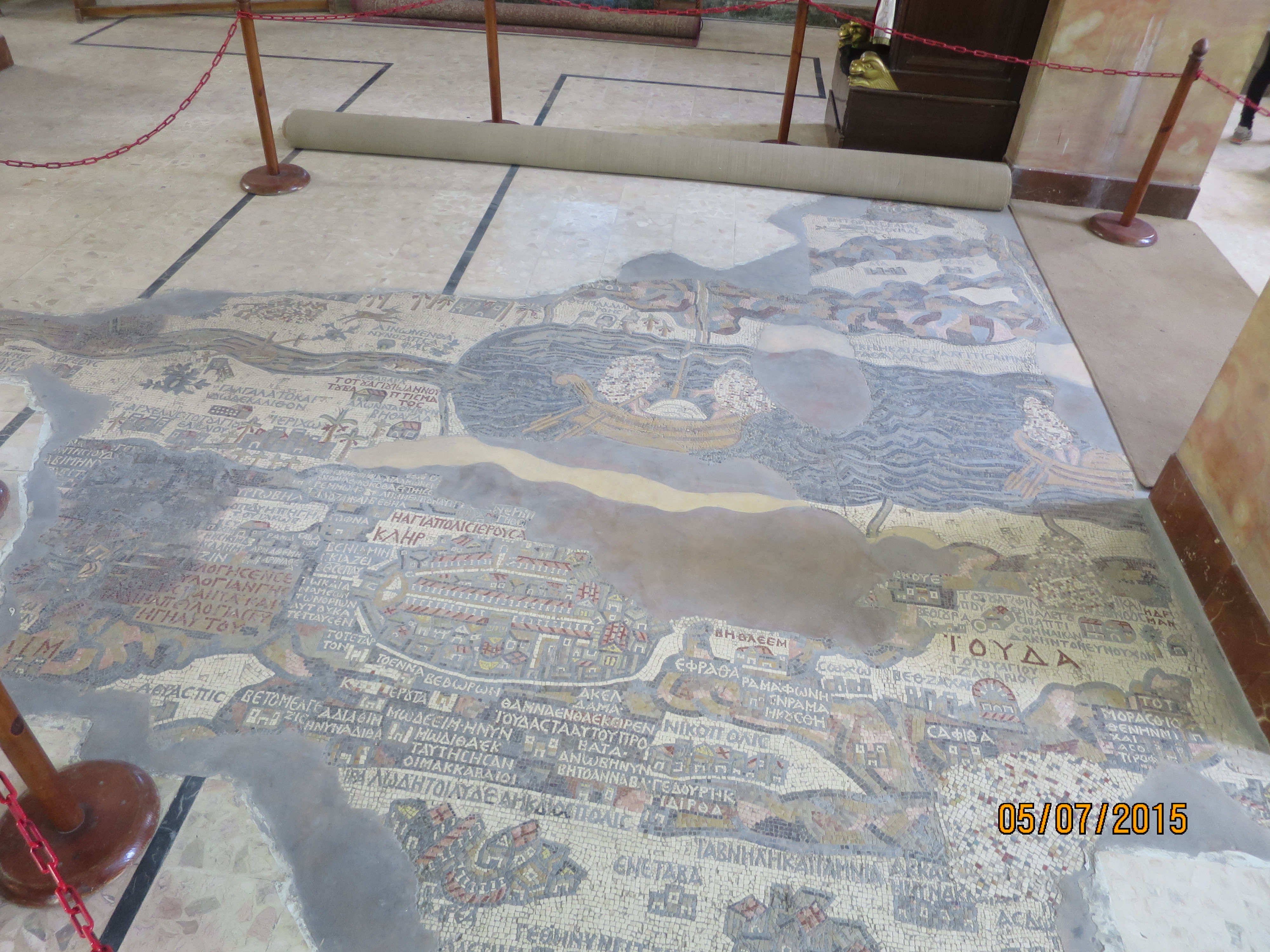
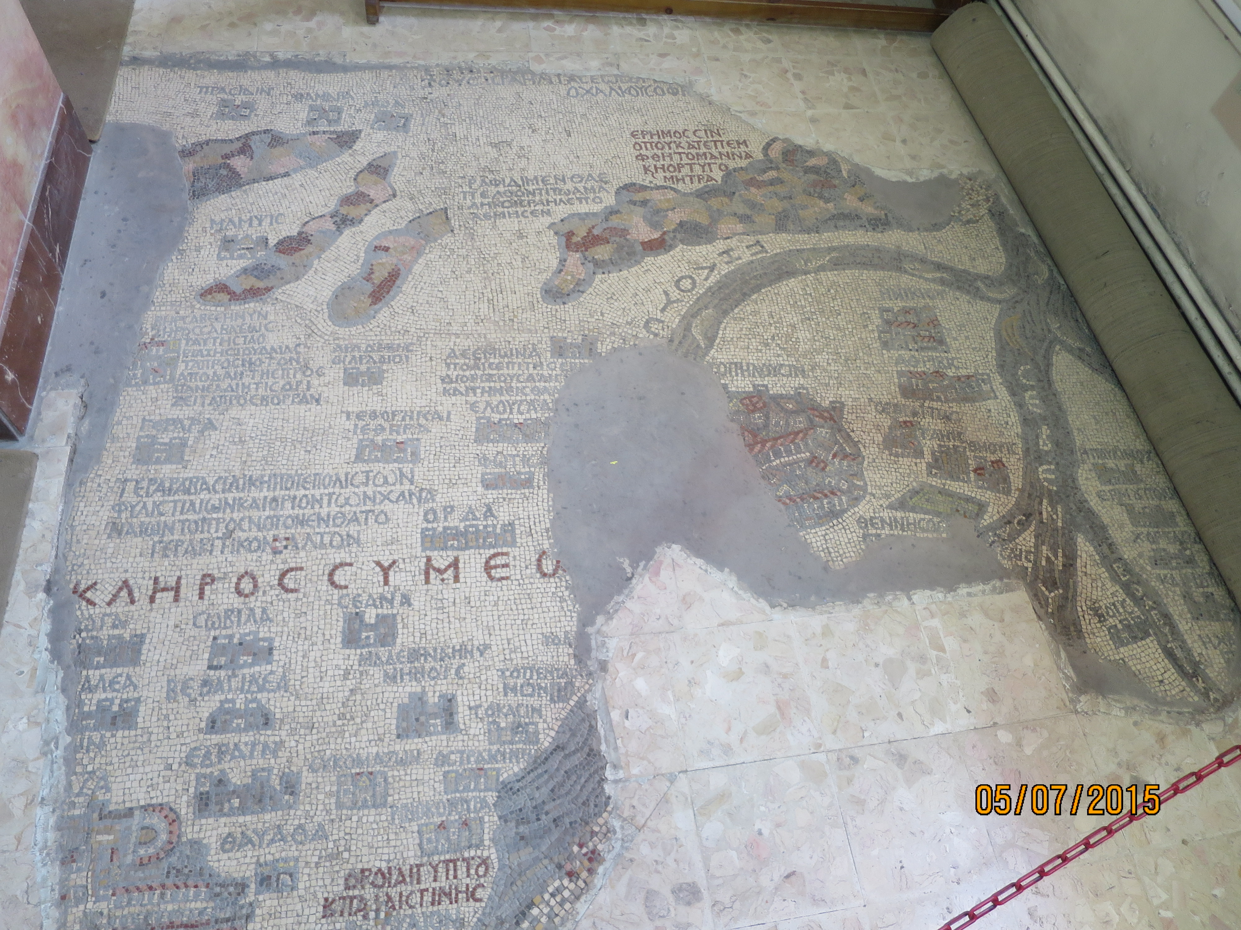
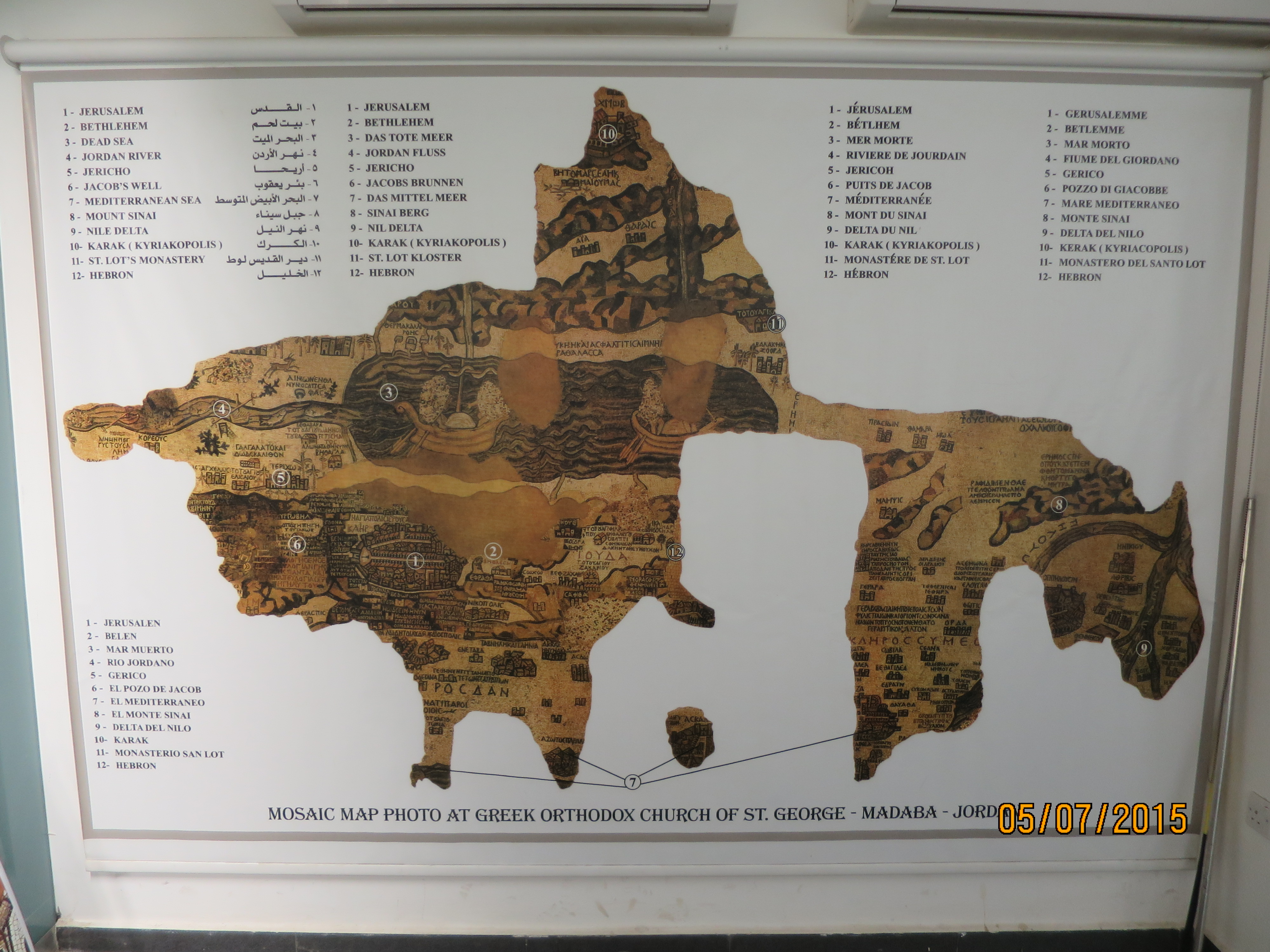
We then stopped in Madaba a Christian town and the home to St. George Church. It is famous for the Madaba Mosaic Map on the floor of this early Byzantine church. The mosaic map dates back to the 6th century, it is the oldest surviving original map of the Holy Land and Jerusalem in particular. St George is still an active Catholic church with a school on the grounds.
We then set off on the Kings Highway an ancient trade route that connected Cairo in Egypt to Damascus in Syria. The road was used by the Nabataeans to ship luxury goods such as frankincense and spices around 400 BC. It is mentioned in the Bible as an important route used by Christians. It was used during the Crusader period. And then by the Muslims who used it on their pilgrimage to Mecca. It is very historic with many of Jordan sites along this road.
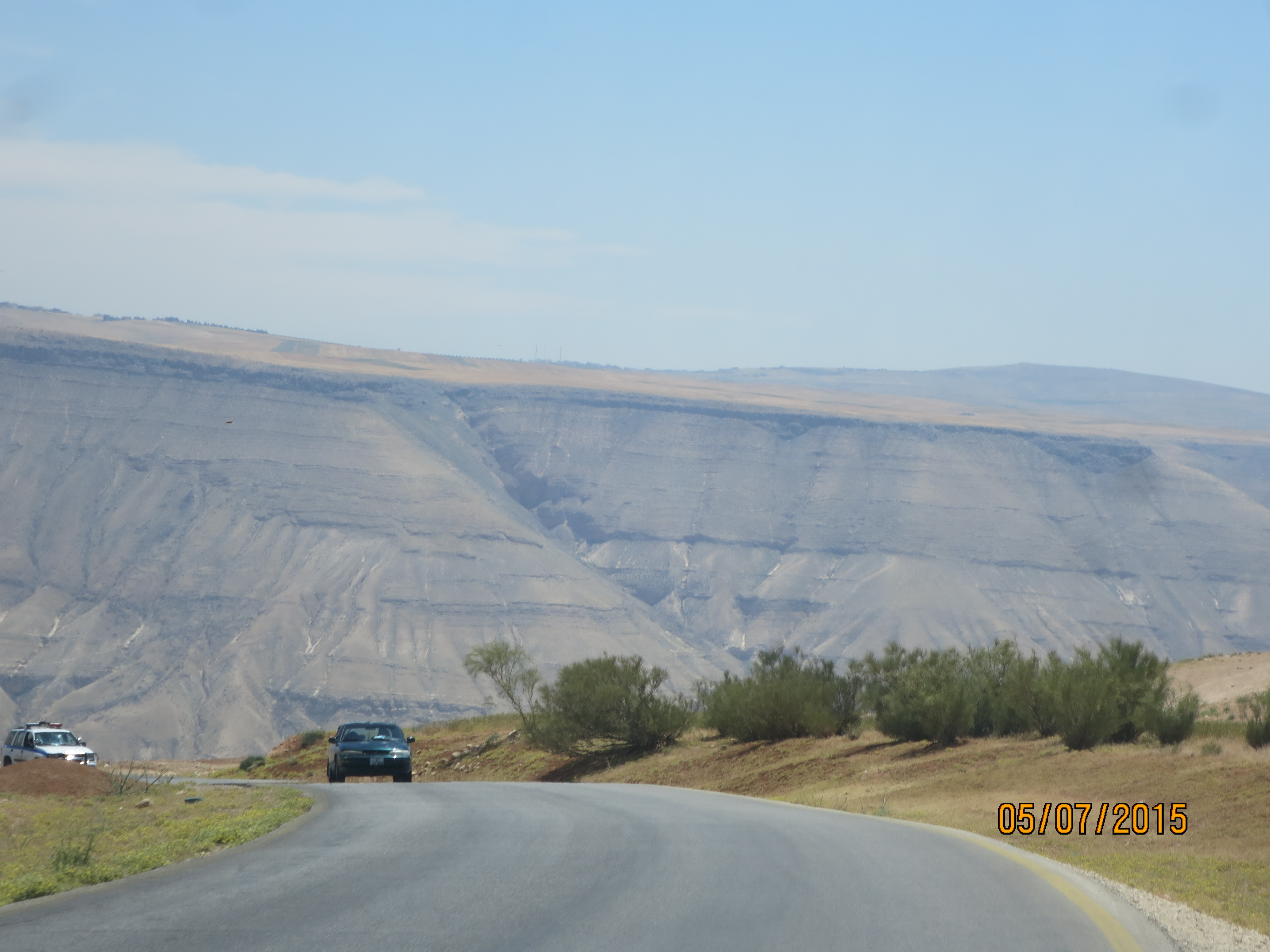
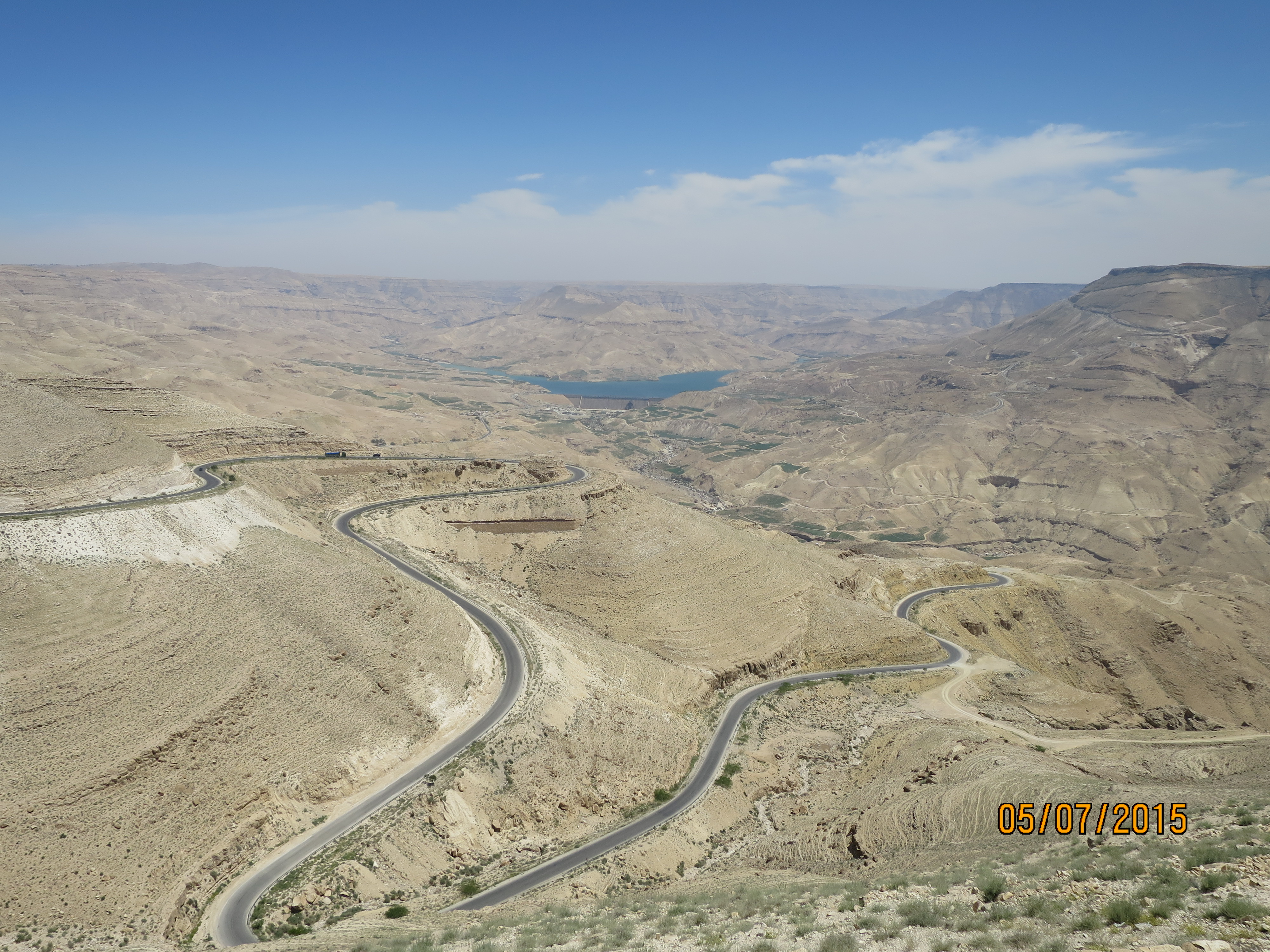
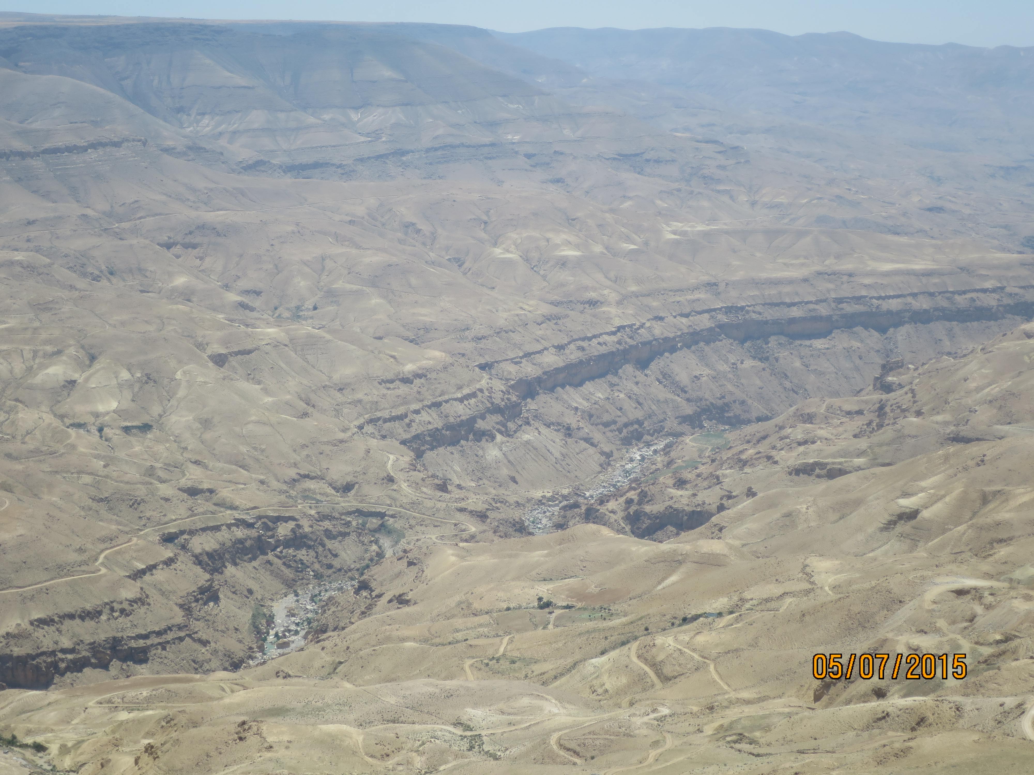
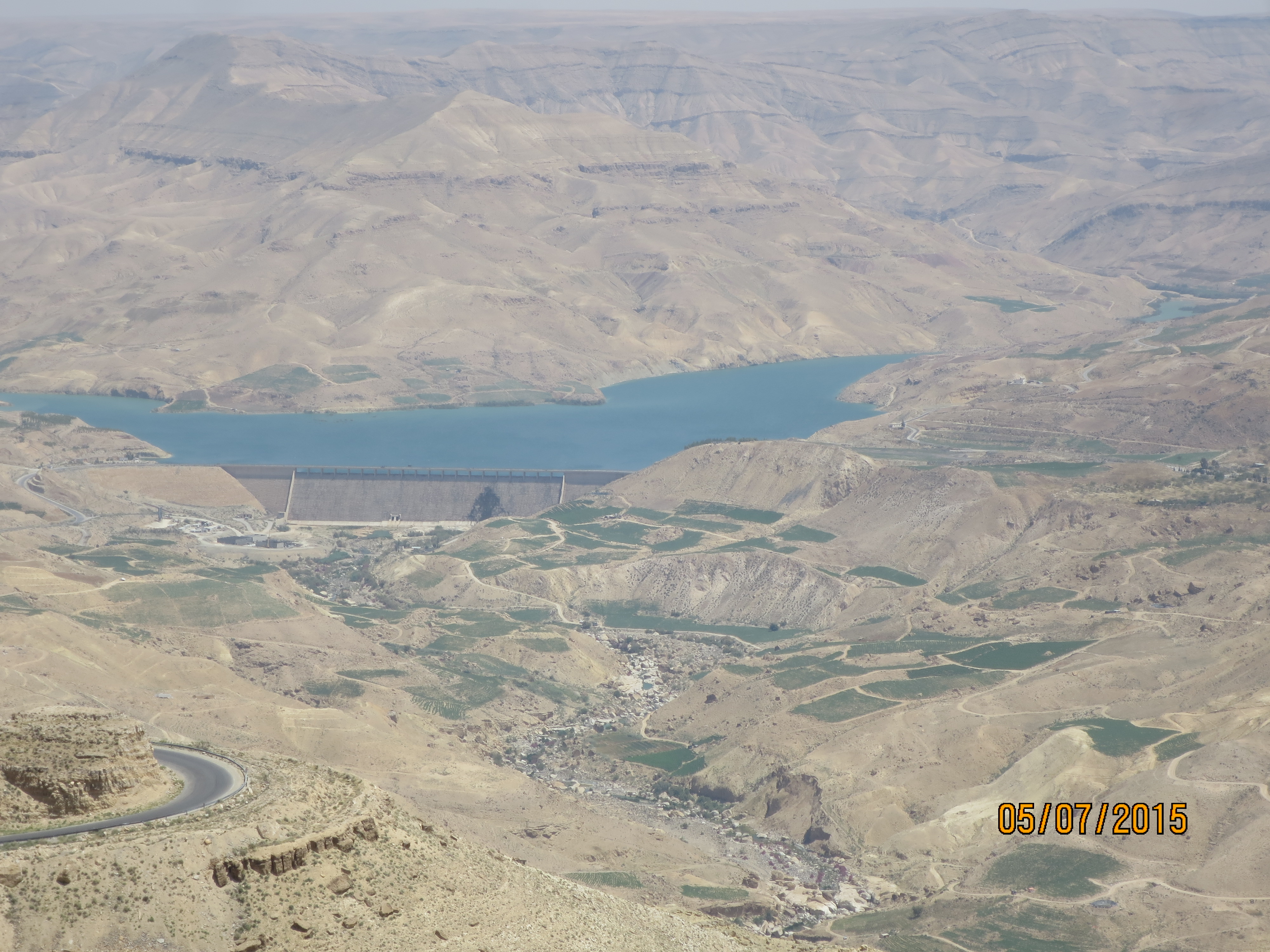
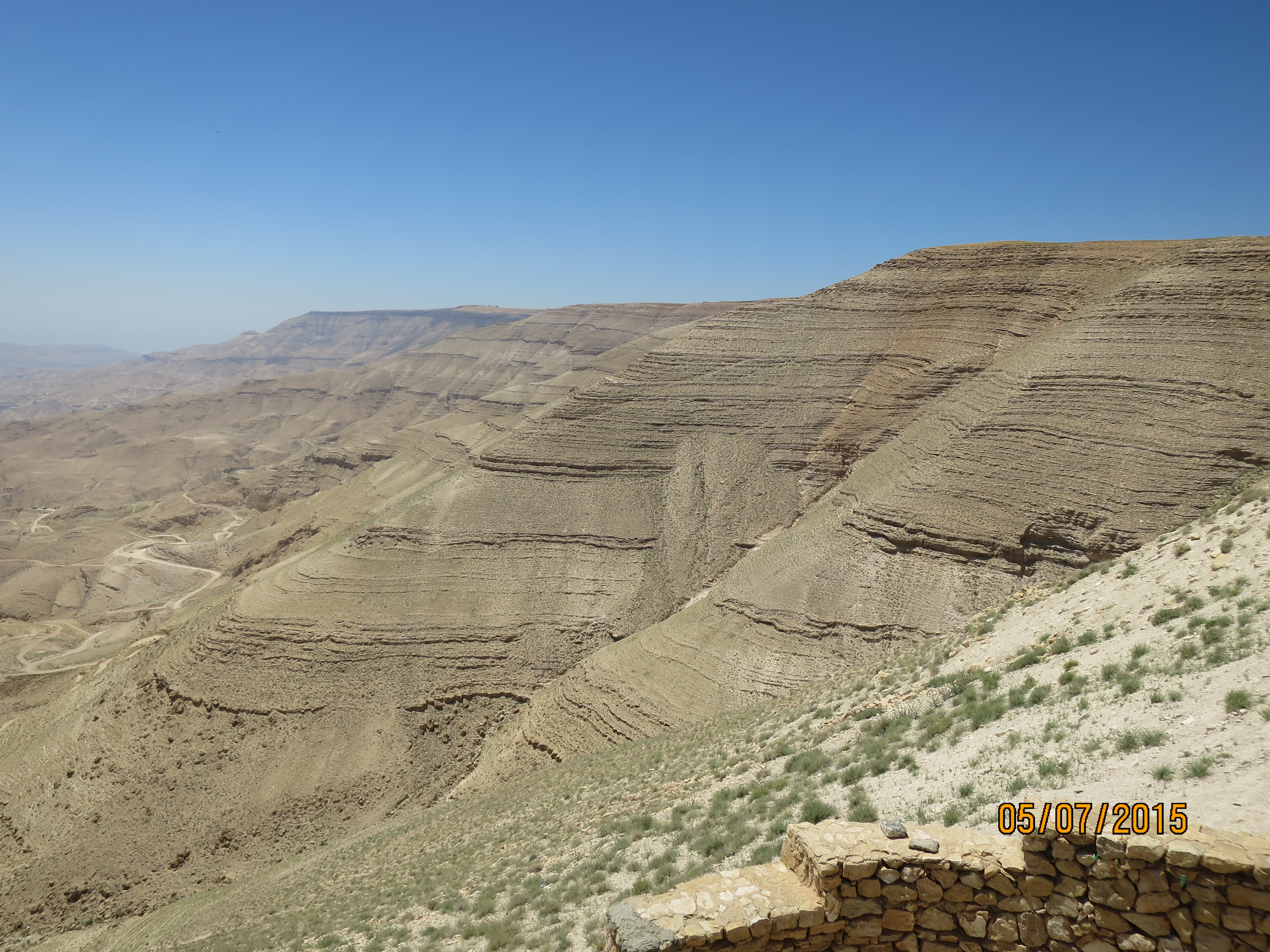
We traveled on the Kings Highway along a high plateau covered with acres of wheat fields, we then enter Wadi Mujib. A wadi is a deep valley. We plunged 2600ft to the bottom of the valley where we crossed a recently built damn and up the other side. It has breathtaking views. Next up Kerak and Shobak castles. Please enjoy the pictures.
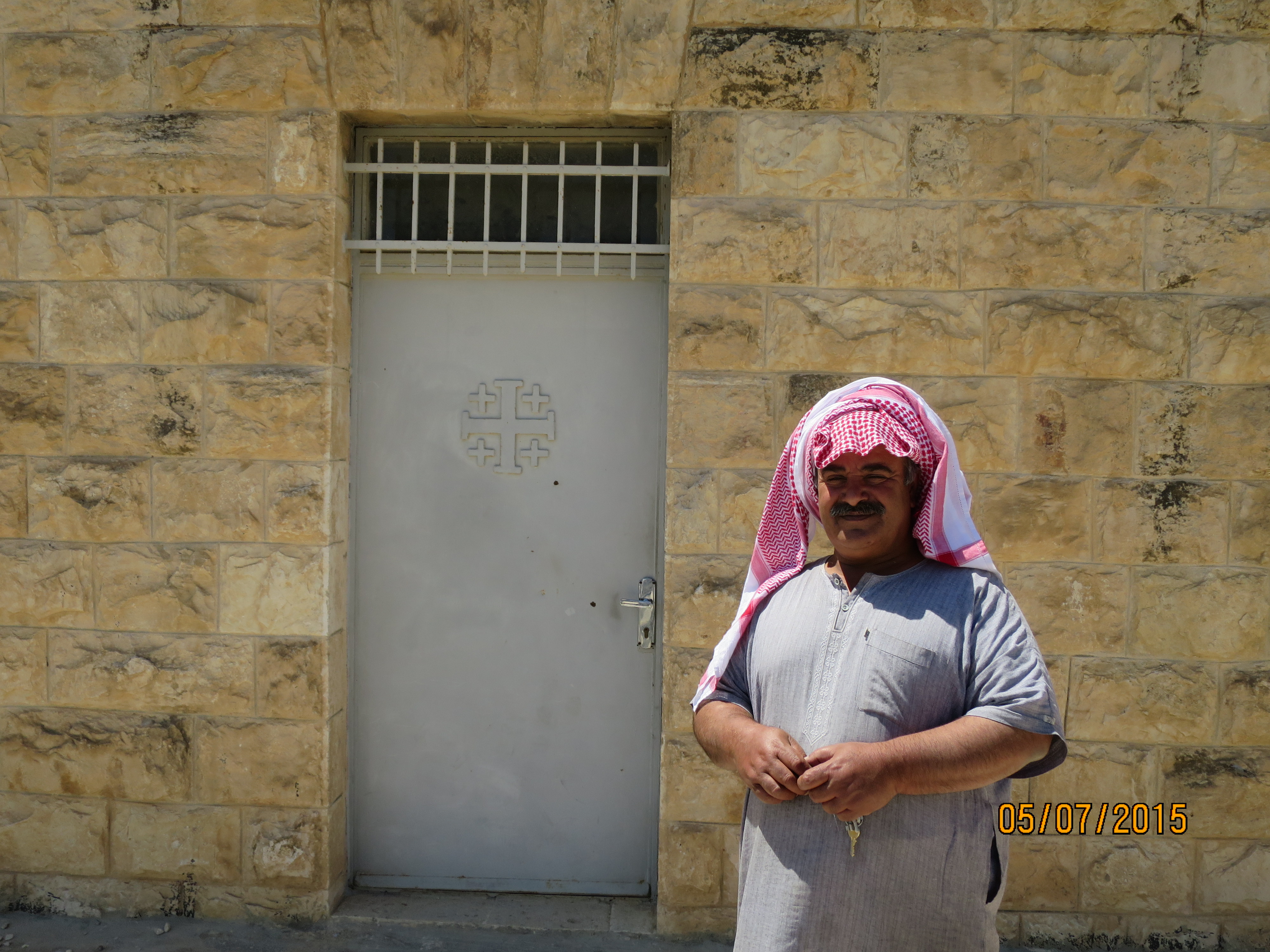
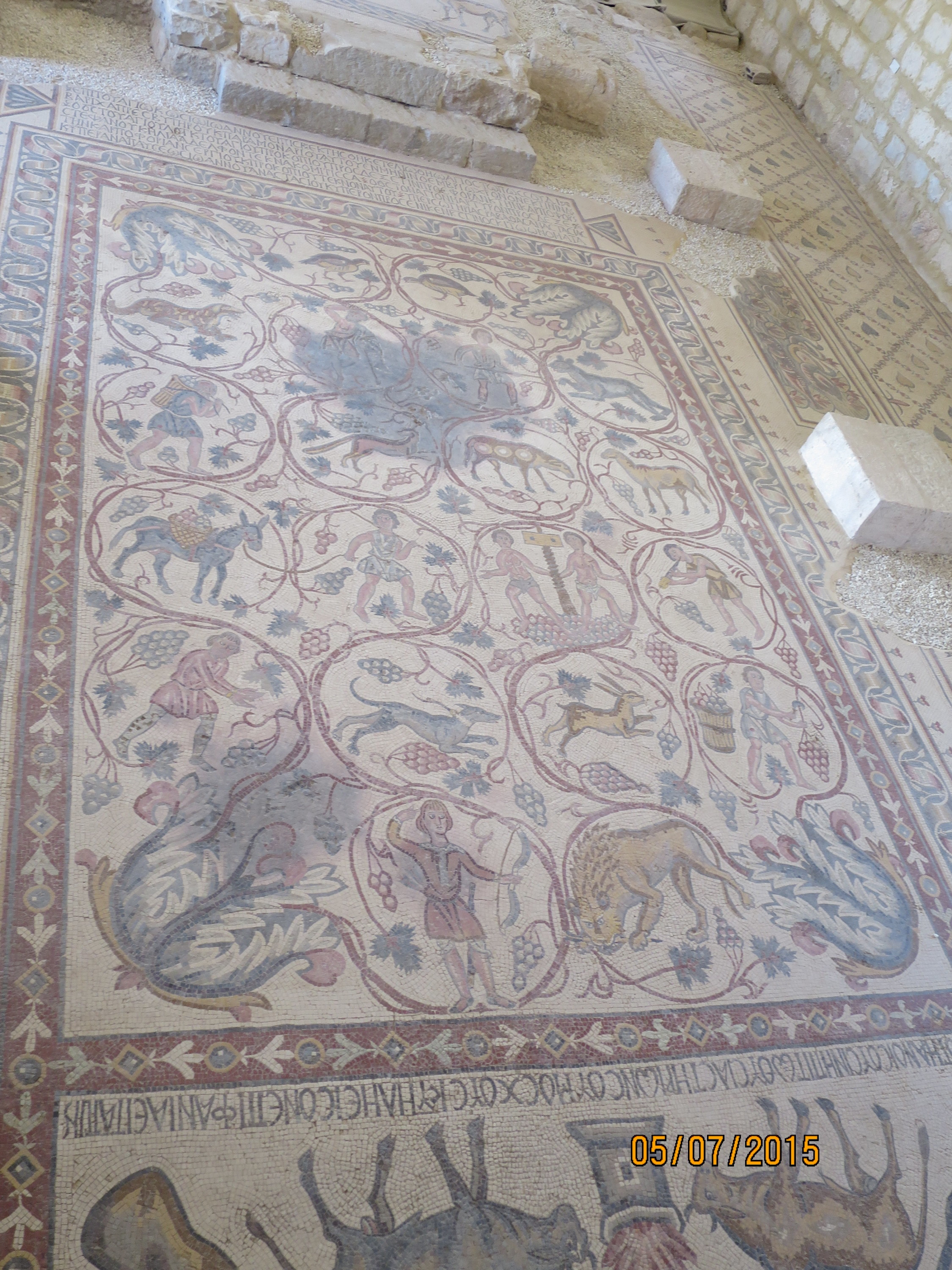
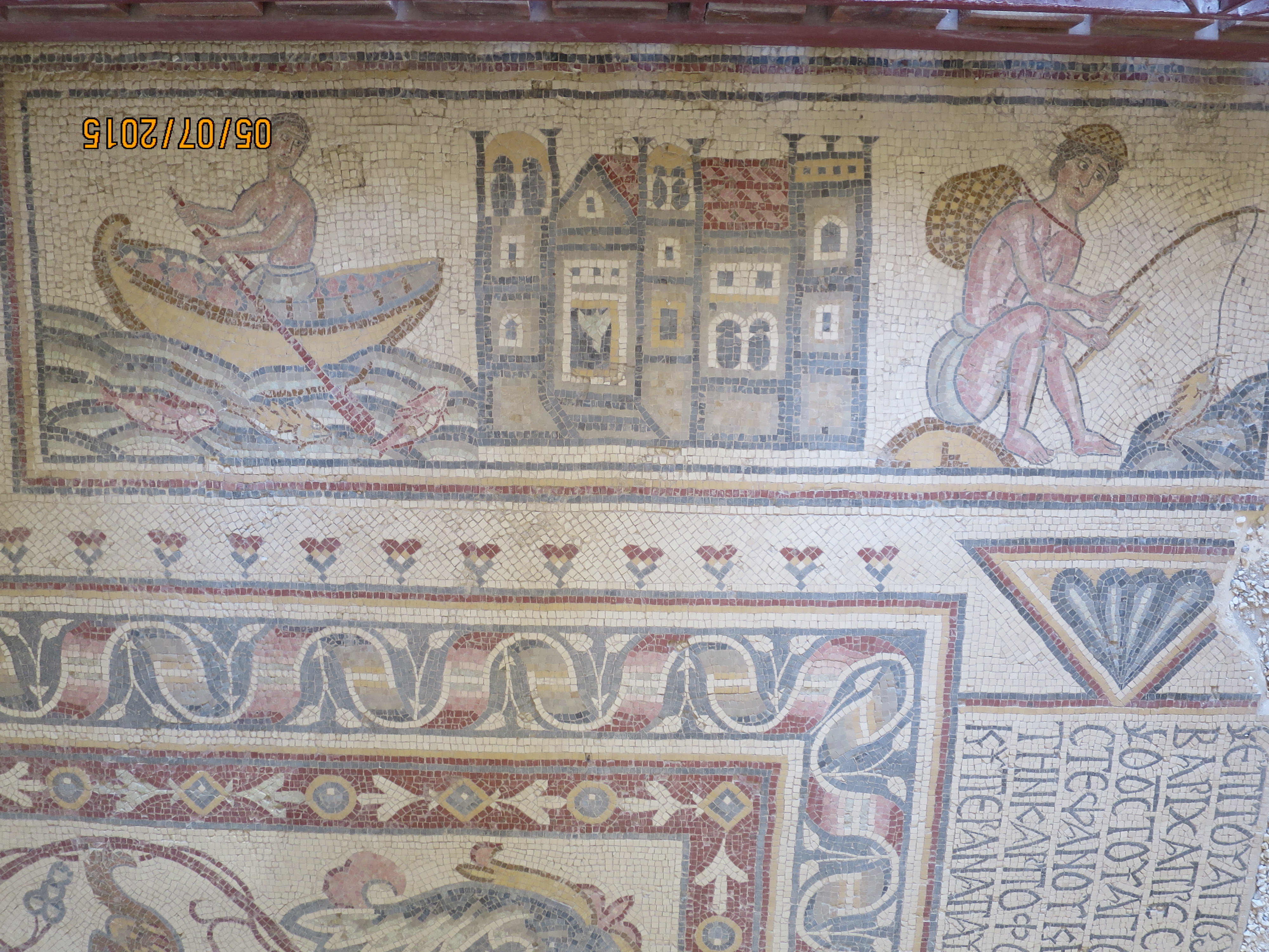
we visited another mosaic dating back to the 5th century about a mile away from the church, the man pictured, his family discovered the mosaic, they only open the door for a few people, our guide was one of them

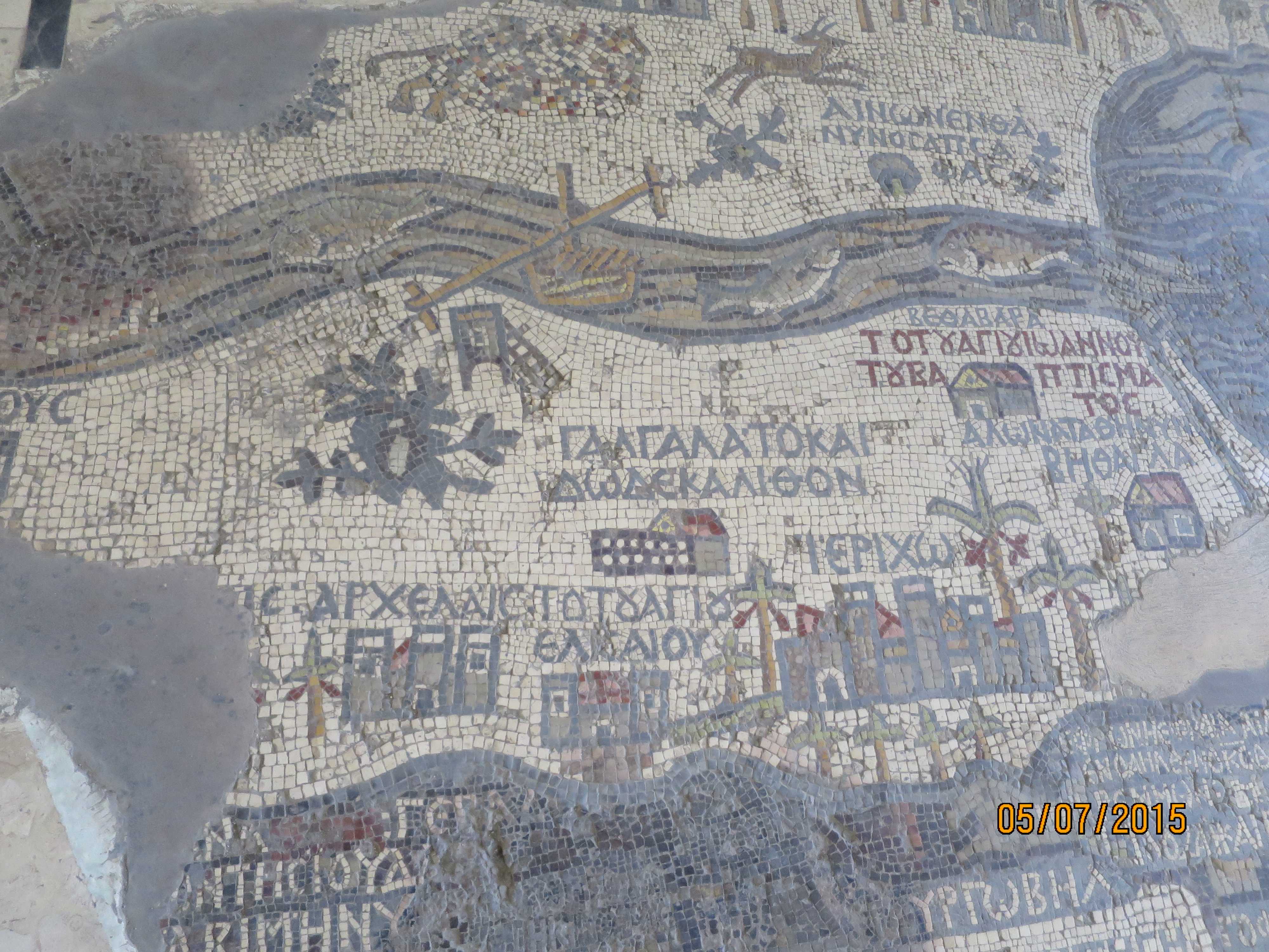
You can really appreciate how important water was in these places. The river was life. After teaching ancient history for a few years, I really appreciate these photos!! Great blog:)
I love the ancient mosaic map! amazing.